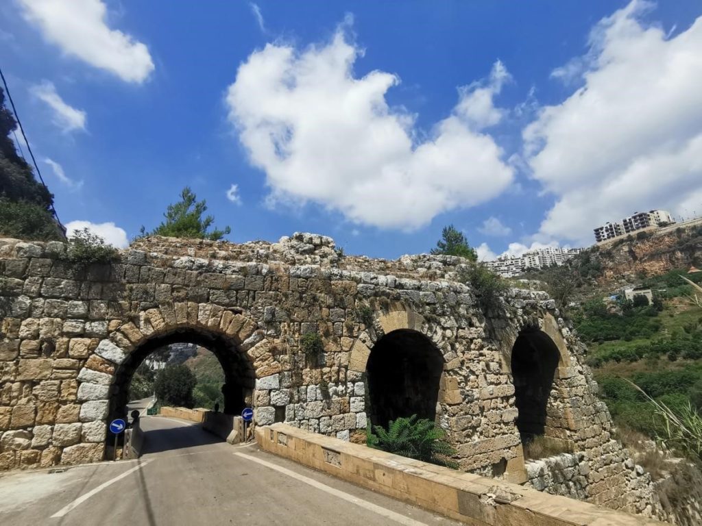
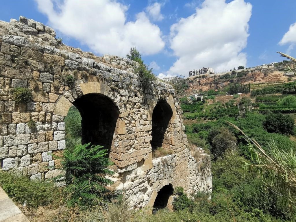
Daychounieh village, located approx 4km east pf Beirut, houses the remnants of a massive Roman aqueduct.
Toponym
Unproven historical accounts state that the name “Qanater Zubeyda” is linked to the Queen of Palmyra, Zainab al-Zuba, or with Zubaidah, the wife of the Caliph Haroun ar-Rashid.
Interestingly, another Roman aqueduct on the Nahr Ibrahim (ancient Adonis river) bears the same name.
Timeline
Upon the foundation and the expansion of the Roman colony of Berytus starting the 1st Century AD, the initial water supply couldn’t satisfy the needs of the ever growing city. Thus, the colony had to look for water supply outside the city walls.
Consequently, Daychounieh would become the main site that provides drinking, bathing and irrigation water for Beirut’s residents over centuries to come.
The aqueduct was severely damaged during the 551 AD earthquake, and was left without restoration since then.
Location
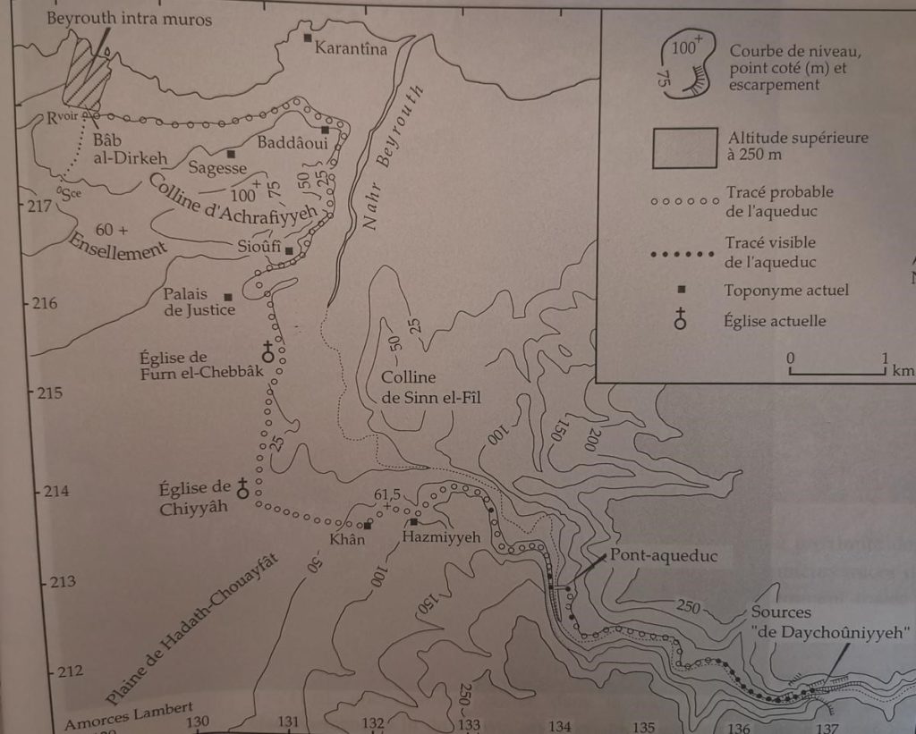
According to the map presented in this article, the aqueduct debuts from the Daychouni, passing by Hazmieh – Chiyah – Furn el Chebbak – Sioufi – Baddaoui – and ends at Bab Ya’acoub (Riad El Soleh Square today).
Description
The main section of the aqueduct that captivated archeologist’s attention is the one called “Qanater Zubayde” – an imposing 240m length, 3 arched level mega structure over the Magoras River, which dimensions are considered to be close to the biggest Roman aqueduct in the world (Le Pont Du Gard, Nimes, France).
On the wester side of the aqueduct, notably on the cliff of Hazmieh, small rock-cut openings can be seen. It is a system of inter-connected tunnels that divert water, while other openings were used to clear debris and maintain the water channels inside the cliff.
Karim Sokhn
Tour Operator & Tour Guide
References:
BAAL, 1997


